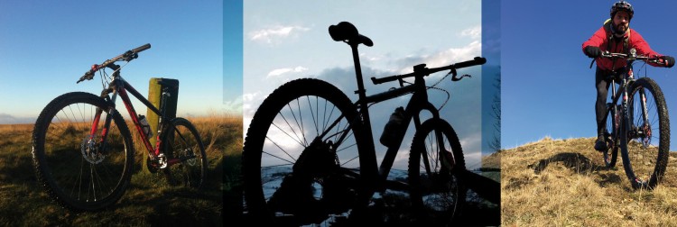
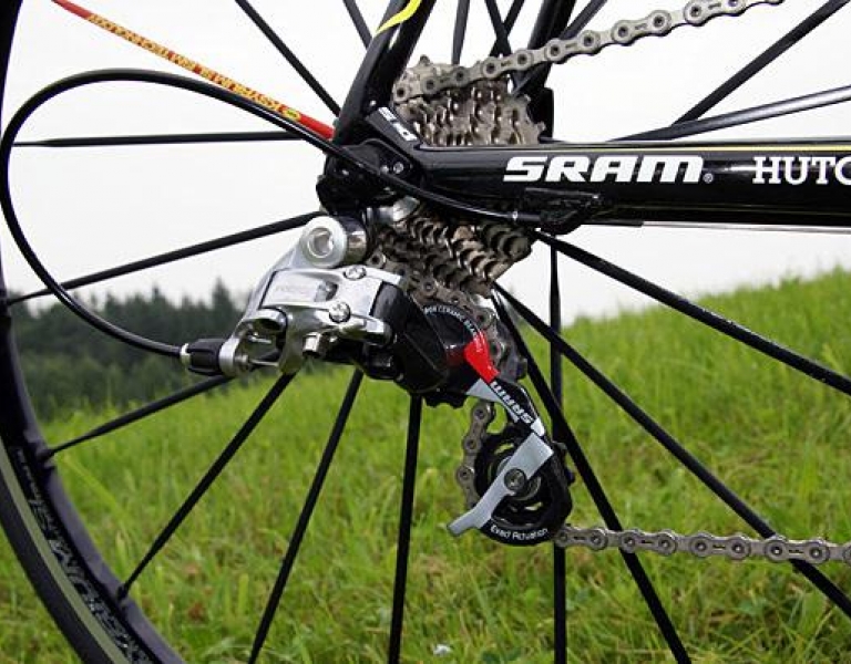
Posted on Feb 16, 2015 at 10:59 AM by andy.geall79
Cobbled Climbs - coming soon
Read More_750_563_90.jpg)
Posted on May 21, 2018 at 11:55 AM by andy.geall79
Welcome to Centre Vale Park situated in the Upper Calder Valley. The park is located on the outskirts of Todmorden close to the Yorkshire and Lancashire Boundary.
Centre Vale Park has been identified as a great place for families to cycle in a traffic free environment. We welcome families to come and cycle our 1 mile loop and for younger riders to develop their cycling skills on our mini road network located on the west side of the park.
The 1 mile loop follows an unsigned figure of 8 passing the cycling skills mini road network, Skate Park area and children’s playground. The route is almost completely flat with only 40ft of gentle gradient. The paths on this loop are wide enough for cycle trailers and visibility is excellent for pedestrians and
cyclists to enjoy the park safely. Please consider other people using the park and we ask you to cycle at a gentle and leisurely pace.
Posted on Jan 22, 2018 at 16:06 PM by andy.geall79
Read MorePosted on Jan 22, 2018 at 16:01 PM by andy.geall79
Read More
Posted on Oct 17, 2017 at 08:41 AM by andy.geall79
Calderdale Council recognise the role that cycling has to play in contributing to the health, well-being and prosperity of our residents and businesses and that our countryside attracts cycling visitors from right across the country and beyond.
We know that many people ride their bikes in parts of Calderdale for leisure purposes and that some people use their bikes to get to work, but there isn’t a consistent picture across the borough.
We know that Calderdale has a number of challenges when it comes to encouraging cycling but we’ve also got some significant opportunities to not only capitalise on our beautiful countryside but to also build on the legacy of the Tour de France and Tour de Yorkshire.
This cycling strategy has been developed to complement our overarching Transport Strategy and ‘Active Calderdale’, describing how we are going to encourage everyone to include cycling as part of their everyday activities whether they are commuting to work, shopping, looking to improve their health or taking part in sport.
The strategy is specifically focused on people, the places they go to and the activities they undertake. It recognises that we have an extensive network of routes in Calderdale that aren’t on the road and looks at how we can develop a network of routes suitable for all types of users. It also recognises that irrespective of whether people are using bikes on the road, on our Greenways or off-road that they need safe routes that are easily accessed and easy to navigate.
Importantly this strategy considers that many people just don’t have access to a bike or have individual concerns in taking up cycling again. The strategy is particularly focused on helping as many people who currently don’t ride to include the bike as part of their life style choices and help keep them cycling.
We have developed this strategy with the help, enthusiasm and experience from a number of organisations and individuals. To make this strategy successful and deliver our ambitious aspirations we will need to work in partnership with others to harness their energy and ideas to develop cycling in Calderdale.
We do hope that you will help us make cycling a way of life in Calderdale.
Calderdale Cycling Strategy PDF
Read More
Posted on Aug 03, 2017 at 15:46 PM by andy.geall79
The Calderdale Cycle Network is made up from a number of way marked and unsigned routes that use the highway, green ways and the bridleway network. Unlike most areas Calderdale has a unique charm offering an extensive on road and off road cycling network that caters for a range of abilities and cycling disciplines from grass roots family cycling to technical mountain biking. The valley floors tend to act as the main routes and the hillside routes offer the opportunity to explore the fantastic landscape both on and off road. Calderdale is famous for being hilly hosting stages of the Tour de France and Tour de Yorkshire. We won’t apologize for the terrain being challenging as that’s what makes it truly great and a superb place to explore by bike.
To provide a simple overview of the area we have provided a Calderdale Cycling Network Tube Map.
Read More
Posted on Mar 14, 2016 at 14:26 PM by andy.geall79
Heading South Side
Route profile coming soon.
Read More
Posted on Mar 14, 2016 at 10:45 AM by andy.geall79
The Trail Mixer Route starts and finishes at the Todmorden Bike Shop the Cycle Factory. This route gets its name for riding over the same ground twice on a certain section and cleverly linking into two different descents that are both first class and a technical challenge. This mountain bike ride also features a mass of packhorse trails and elements of the Pennine Bridleway.
From the off you leave the bike shop and head along the A646 towards Burnley, we recommend breaking off into Centre Vale Park and re-joining the main road at the other side of the park. About ½ a mile up the road up you head to the trails and climb up through heavy woodland track of Jumps Lane until you reach open moorland.
At this point you take a right and continue to climb up a stone walled bridleway to over a 1000ft above sea level. At the junction you enter packhorse world and an offering of over two miles of packhorse trail, tracks and bridleways with a mix of technical and non-technical sections before you reach Todmorden Golf Club.
From here you are on the road for a short section before linking back into the bridleway network, from the farm house take note of your surroundings as this is the first descent of two. When you reach the road you take a left and then right descending on the fast bridleways to the houses, at this point continue straight on and into the woodland bridleway. This section to the bottom is extremely technical with loose rocks and obstacles throughout to roll over; you will either love it or hate it.
Back in the valley and on the main road you follow the A646 for 1 mile towards Hebden Bridge before picking up the Pennine Bridleway that climbs up to Blackshaw Head. The first part of the climb is relatively easy until it gradually ramps up and becomes more of a challenge. As you leave the access tracks to local houses you hit a technical section of off road from a hairpin and clearing this section is more pure luck than skill and power. This climb continues to become more challenging with further technical elements and a final section of ridged paved sets that sit just far enough apart for 29er wheels unable to bridge them, making momentum difficult. Once this section is complete you can steadily tap away till you reach the road at Blackshaw Head.
Heading west the route follows a short tarmac section to the village and gradually climbs to the hill top using the local bridleway network. The route links back to the road network using the sometimes water logged Dukes Cut and connects with a fast road section downhill to familiar surroundings and ground you have already covered. At the road this time you turn right and follow until you pick up a hidden bridleway to the left. This little section is a great bit of single track and varies from being super hard packed to extremely sketchy, both of which put a smile on your face. As this section leaves the woods you link back onto terrain conquered for a short period before heading down a short track to what looks like a farmyard. At this point there is a hidden bridleway to the left that cuts through the houses, its technical and fun from the off as it zig zags down the hillside to the picnic site and car park in the bottom of the
valley.
Getting back to the start is simple, just head west on the A646 back to Cycle Factory.
Read More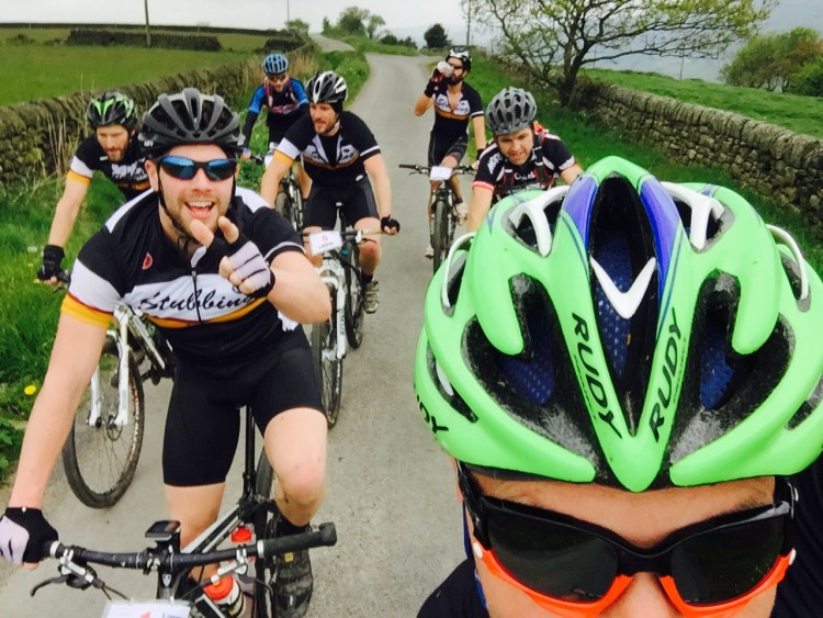
Posted on Mar 11, 2016 at 11:58 AM by andy.geall79
The route will leave Cycle Factory and head east on the A646 for riders to spin their legs and warm up before heading to the hills. The first climb of the day heads out the valley floor on the Strava segment known as the ‘Stoodley Lung Buster’. The aim on the day is to climb this fire style road at a steady pace to the top.
From Harvelin Park the route follows a flat section before climbing up to one of the popular climbs in the area ‘London Road’. This bridleway hugs the hillside and the climb is gradual to Swillington. The wind can feature and be in your face but fingers crossed the weather will be kind. On the final section to the farm gate there is a rock garden that can be ridden or bypassed depending upon one’s mood.
From Swillington the route follows a fast farm style road before heading to high ground on Whitaker Road. This part of the ride forms a loop of Erringden Grange and then retraces the steps back to Harvelin Park. On route the descent of London Road is a feature and rides well the majority of the year.
A short section of the bridleways and Pennine Bridleway around Mankinholes and Lumbutts takes you to the Top Brink Inn. There is a steep cobbled descent on offer for the braver riders and those that don’t fancy it can loop around through the car park. The route continues on the road climbing up to the Shepherds Rest Inn before heading off road for the final time descending into the heart of Todmorden. A simple roll on the main road back to Cycle Factory and you are done.
Read More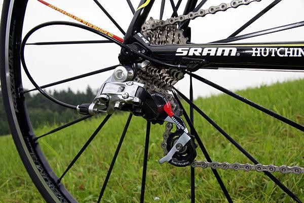
Posted on Mar 07, 2016 at 10:40 AM by andy.geall79
This route takes in some of the best road cycling in Calderdale and also pops over the hill to explore what Lancashire has to offer. The route starts in Todmorden and heads to Hebden Bridge on the valley road before picking up the route of the 2015 Tour De Yorkshire heading up ‘Calderdale Road Climb 13’ Keighley Road (Hebden Bridge to Cock Hill).
This climb is very popular with road cyclists from both sides as it was also part of the 2014 Tour De France. This route follows the pedal strokes of the pros to the outskirts of Oxenhope before heading up a beast of a climb; this climb varies in gradient up to Warley Moor Reservoir. The views on a clear day are brilliant unlike the road surface which is rough and patchy for a short section, cyclists riding their best bikes may wish to take it easy through this section of the route.
From one of the high points on this ride the route descents to the village of Wainstalls before plunging into the Luddenden Valley, the descent is very steep and requires good bike handling skills on the cobbles above Jowler Mill, this descent ends in the valley floor before reaching the tiny hamlet of Booth.
From Booth you pass the cricket club and local farms before heading down the valley further to Luddenden Foot which is one of the lowest points in the Calder Valley. Your visit to this part of the world is brief as you immediately head up the opposite hillside on ‘Calderdale Road Climb 34’ that links to the area of Sowerby.
From Sowerby you sneak through the back roads and head towards Triangle and the valley road to Ripponden. At Ripponden you climb again up the A58, this climb is long but not that hard compared to what you have already accomplished. This climb is very much like a mini version of a mountain pass as you reach the summit and head down the other side to Littleborough.
At the traffic lights in Littleborough you turn right and follow the road almost back to the start. Riders that are feeling tired can simply keep rolling and head back to Todmorden. Those that have the determination to continue will next take on ‘Calderdale Road Climb 28’ Shade to Sharneyford. This might be one of those climbs you either love or hate, it starts off fairly easy and it heads up through Gauxholme. Leaving the houses behind you the tree lined road kicks up to Cloughfoot offering a brief rest bite. From here the climb can be open to the elements and the road kicks up to the summit.
From Sharneyford the route descends into Bacup and is very much up and down from this point in. You leave Bacup and head towards Burnley on a long steady climb towards ‘The Deerplay’ that was once a local pub. The next descent is great, you have a full view of the road ahead and the gradient is steep enough to carry good speed without being on your brakes constantly. Around 2km into the descent knock off some speed as you are looking for a left, then instant right turn onto Crown Point Road. This road is very scenic and traffic free following an up and down profile. The roads high point offers views over Burnley with Pendle Hill in the background. On a clear day you can see the 3 Peaks in the distance.
At the end of Crown Point Road turn right and then right again at the traffic lights. As you head down the hill you will approach a strange looking junction, from here follow the signs to Todmorden, 12km along the A646 you will be back in the town for some well-deserved food and drink, reward yourself.
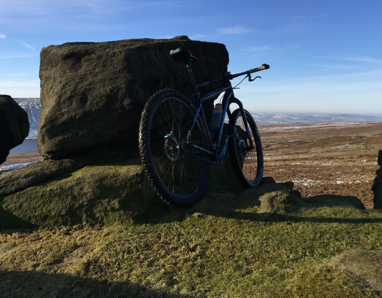
_768_600_s_c1.jpg)